
SWOT Version D Reprocessing Complete
2026-09-25We are pleased to inform you that the reprocessing of SWOT Version D KaRIn products is now complete. Users are encouraged to only use Version D products, as the time series in now complete. Reprocessed products are available at the NASA PO.DAAC and CNES (Aviso and HydroWeb) distribution centers.
Read more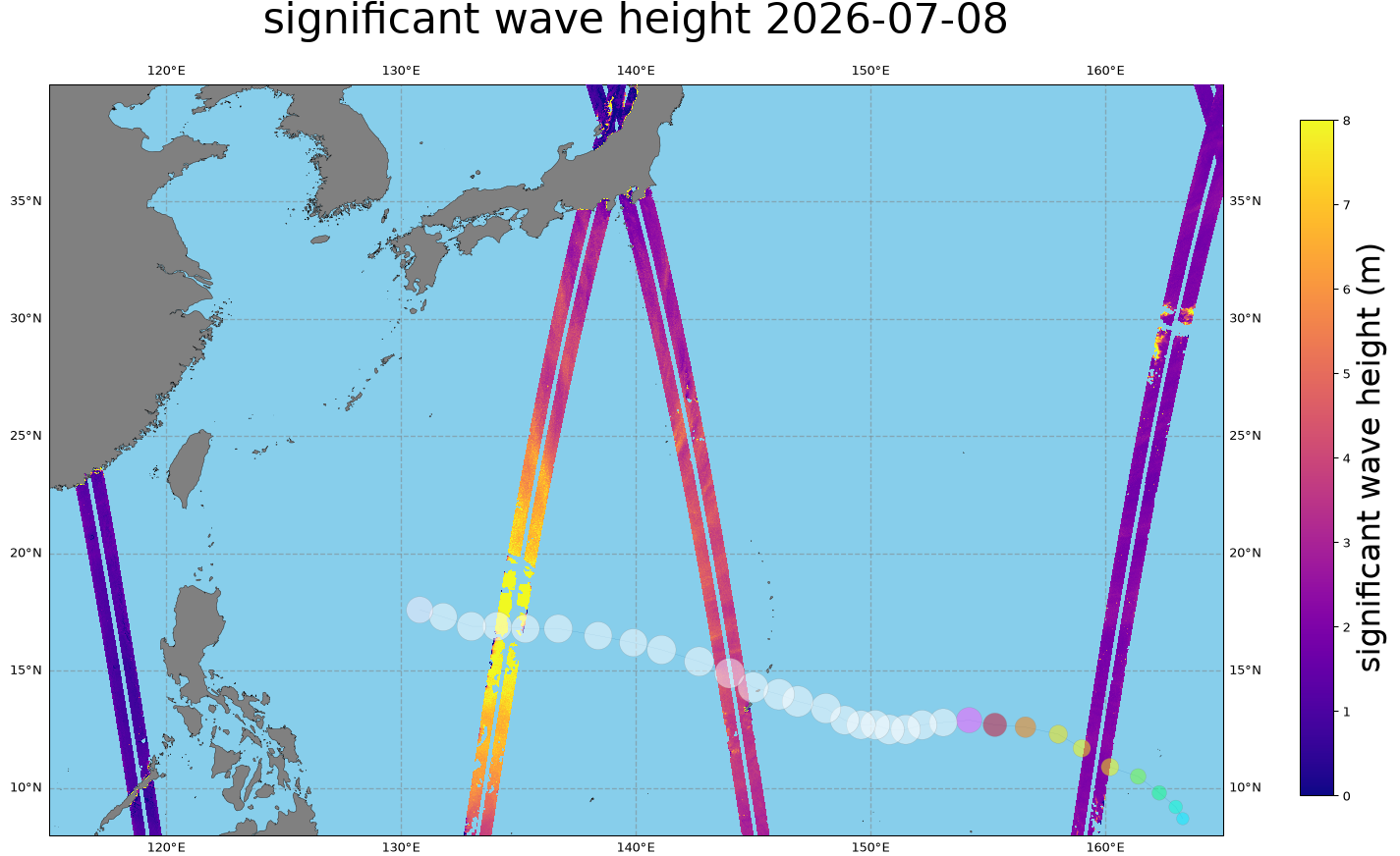
AVISO releases a new suite of open-source Python tools for SWOT altimetry data
2026-09-25AVISO is releasing a suite of open-source Python libraries for exploring, accessing, and handling satellite altimetry datasets. These tools make it easier to explore, download (including spatio-temporal subsets, so you only download the data you need), and work with SWOT altimetry products. They are available with documentation on GitHub repositories, and can be installed via conda-forge.
Read more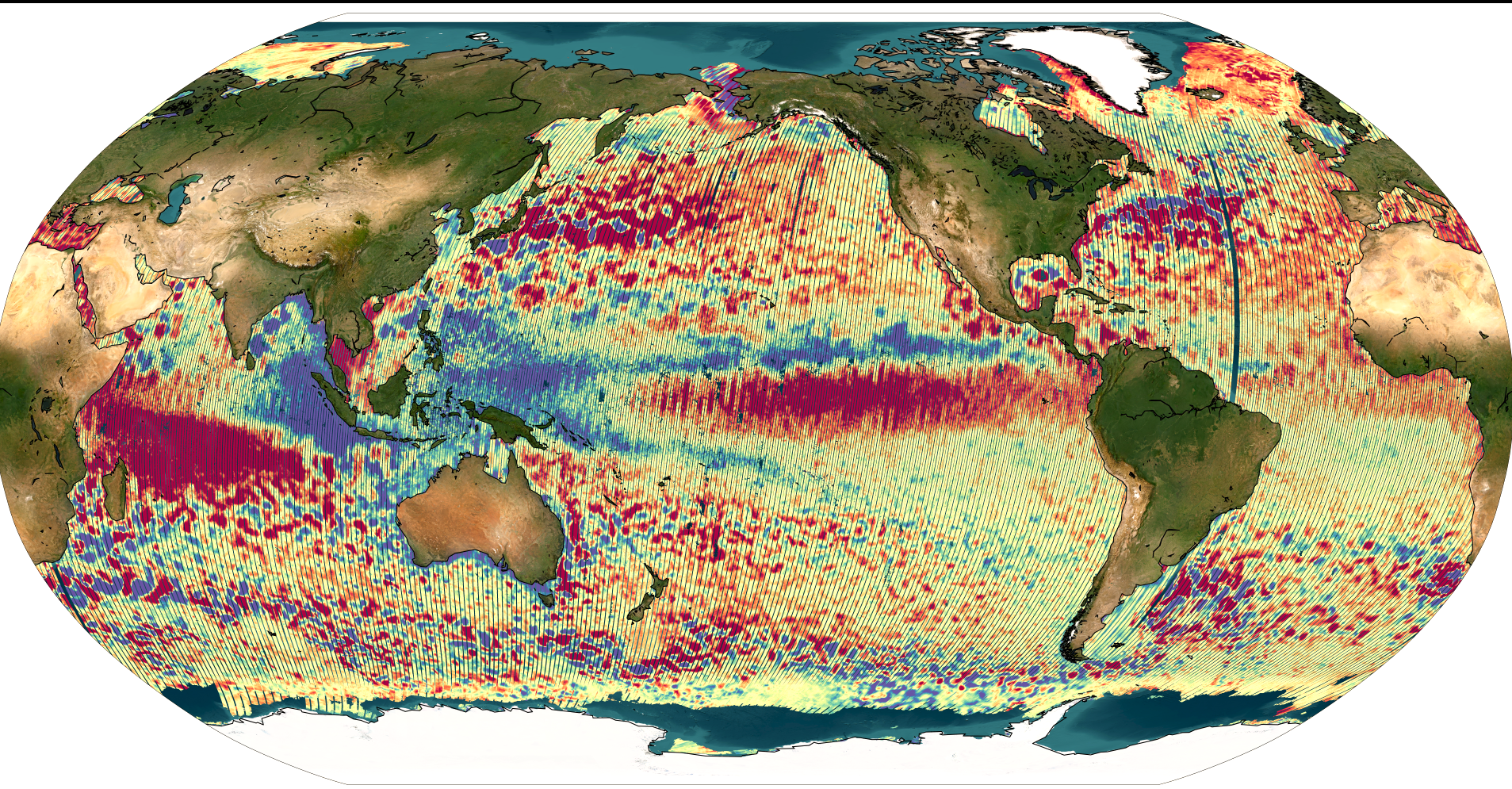
SWOT: Public release of the SWOT Level-3 Unsmoothed v3.0 product
2026-09-17SWOT Level-3 Unsmoothed (250 m resolution) fully reprocessed in version 3.0.
Read more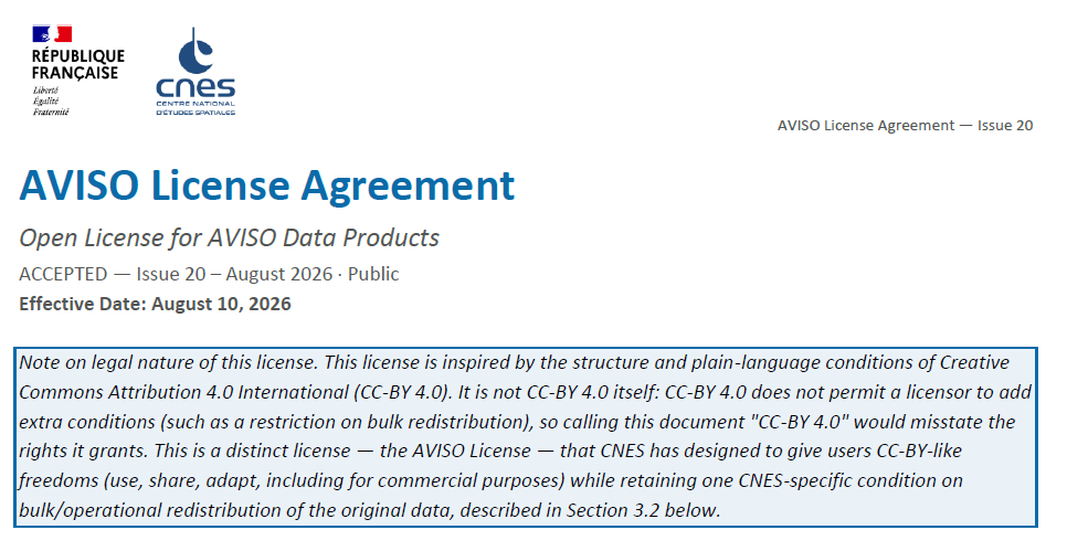
AVISO Licence Update : Official Licence and Plain Language Guide
2026-09-11A new version of the AVISO Licence Agreement is available. A complementary Plain Language Guide is also provided for informational purposes.
Read more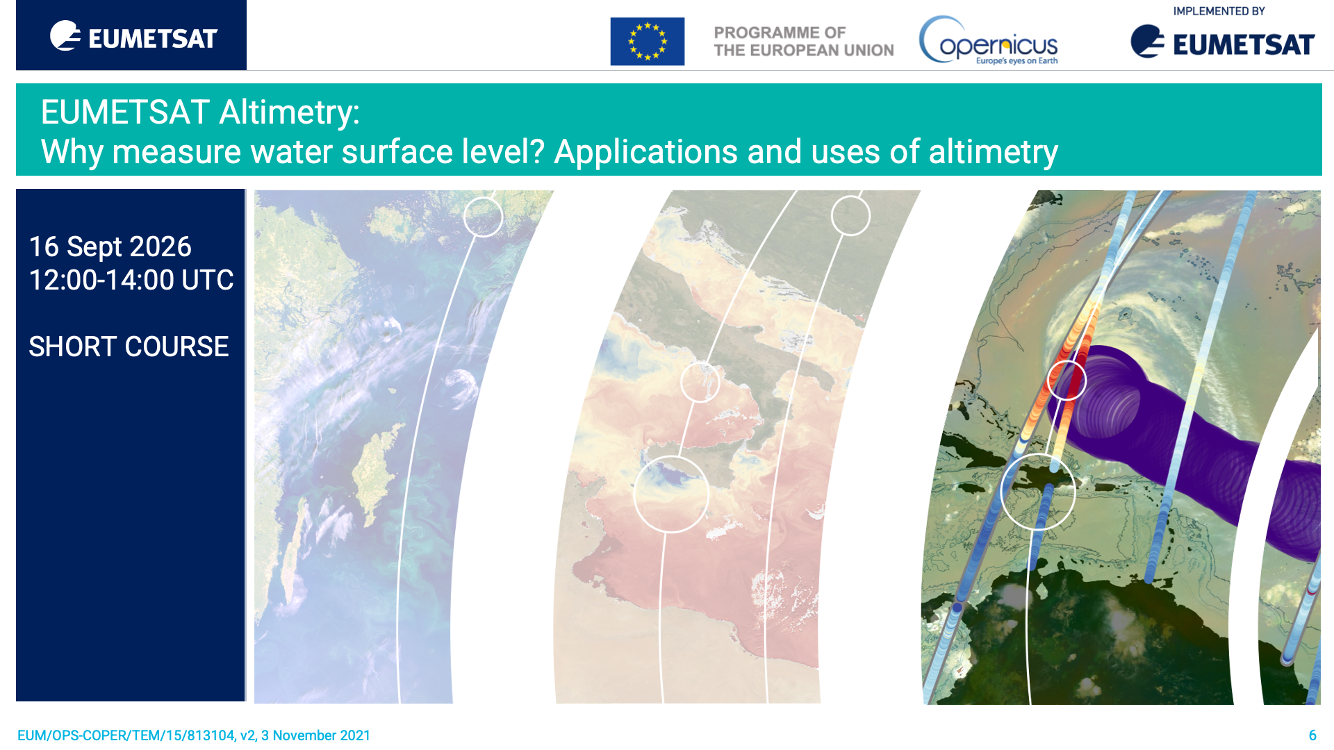
EUMETSAT Short course "Altimetry: Why measure water surface level? Applications and uses of altimetry"
2026-09-08A short course from EUMETSAT on the uses of altimetry products, with a focus on Copernicus ones. 16 Sept 2026, 12:00 - 14:00 UTC
Read more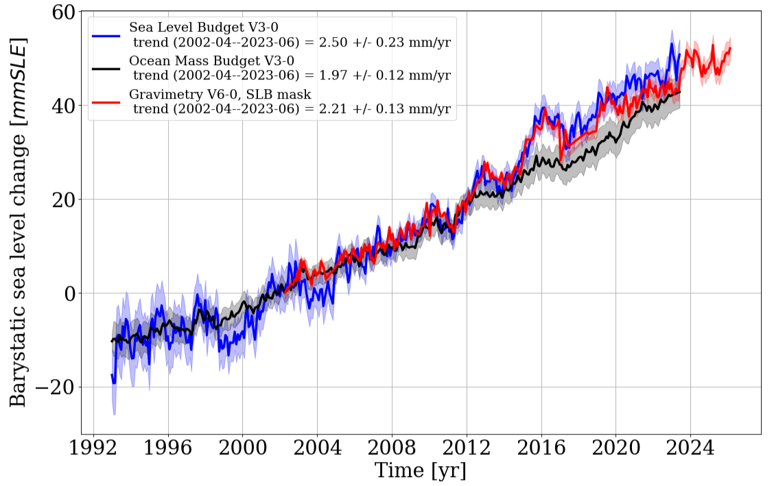
New dataset and new version of Barystatic and Manometric indicators products
2026-09-08New "Extended barystatic time series from ocean mass budget and satellite gravimetry" and Version 6 of "Barystatic and manometric from satellite gravimetry"
Read more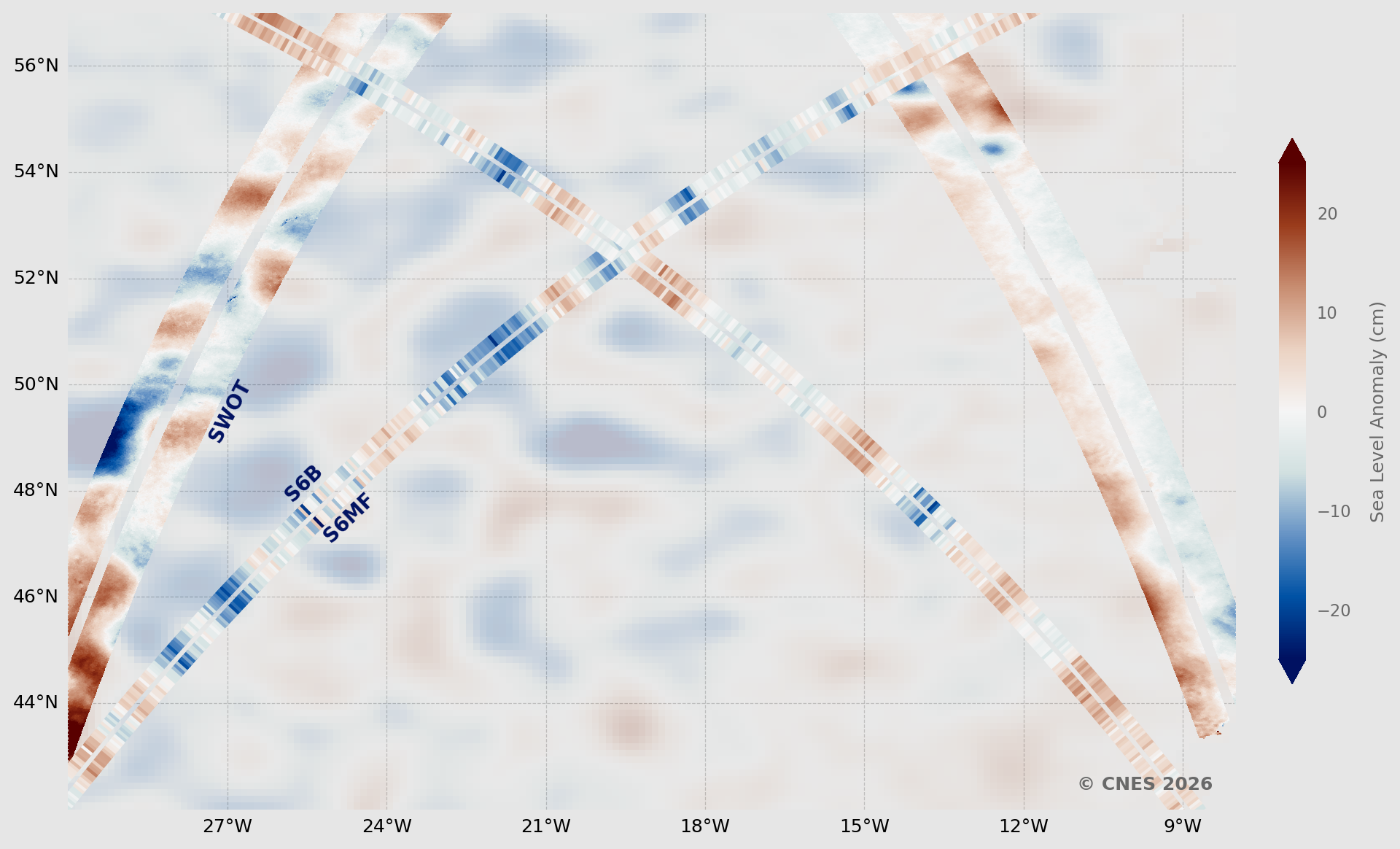
Sentinel-6B fully compliant with mission’s requirements, & coherent with Sentinel-6Michael Freilich and Swot
2026-09-03Sentinel-6B vs Sentinel-6 Michael Freilich and Swot: all lights green for operations
Read more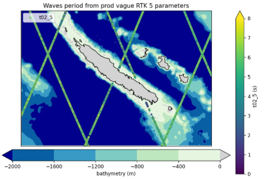
New product: Sentinel-6 Delay-Doppler Altimetry Retracking 5 parameters
2026-08-27This dataset is based on an advanced SAR (Delay-Doppler) processing approach which explicitly accounts for ocean surface dynamics. The methodology incorporates enhanced SAR models that jointly retrieve the standard deviation of vertical wave orbital velocities and the along-track component of the geophysical Doppler vector.
Read more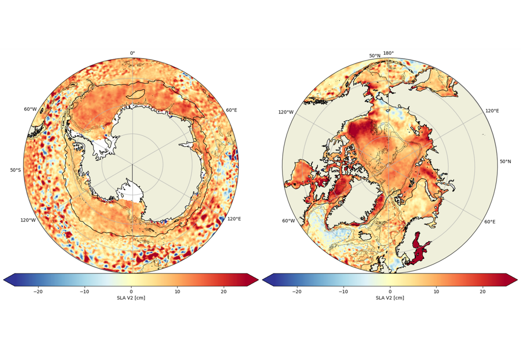
What’s new regarding the Polar Oceans products on AVISO?
2026-08-26This consists of 1/ the release of a new dataset: multimission gridded sea level heights and velocities in v2.0 obtained with the Multiscale Inversion of Ocean Surface Topography (MIOST) mapping approach and 2/ the addition of the formal error variables in of the multimission gridded sea level heights and velocities dataset in v2.0 obtained with the Optimal Interpolation (OI) mapping method.
Read more
Version 4.0 of Mesoscale Eddy Trajectory Atlas
2026-08-18Anticyclonic and Cyclonic eddies detected from the multimission altimetry datasets, with their location, contours, amplitude, radius speed and associated metadata. Eddy detection relies on the pyeddytracker (PET) algorithm.
Read more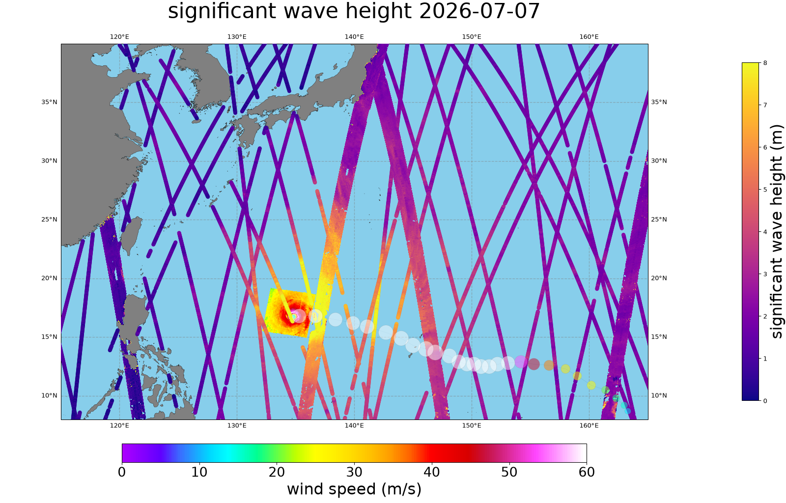
Typhoon Bavi seen by nadir altimeters, Swot and Sentinel-1
2026-07-30Significant wave heights over 12 m were measured every day from the 6th to the 11th of July by different nadir altimeters in the vicinity of the typhoon (instantaneous maximum over 14.5 m on the 7th ). Sentinel-1 SAR sea surface roughness enables to compute sustained winds, showing maximum at 60 m/s.
Read more
[S6-B] Altimetry Level-2 NRT/STC Data Release
2026-07-20On July 16, 2026, EUMETSAT announced the release of new Poseidon-4 altimetry data from the Sentinel-6B mission.
Read more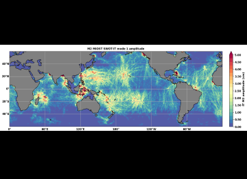
Version 2024 of MIOST internal tide Atlas
2026-07-17MIOST-IT24 (Tchilibou et al., 2025) is a global atlas of coherent internal tide developed during the period 2024-2025.
Read more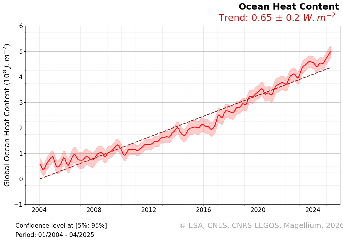
New version 6.0 of MOHeaCAN product
2026-07-16This new version, based on a innovative approach that combines in-situ, altimetric, and gravimetric data (Fourest et al. 2026), shows a very significant improvement in the estimation of Global Ocean Heat Uptake (GOHU) and the EEI compared to previous versions.
Read moreAVISO website maintenance completed (July 6–9, 2026)
2026-07-02The planned maintenance operation on the AVISO website has been successfully completed.
Read morePlanned maintenance of AVISO website (July 6–9, 2026)
2026-07-02Planned maintenance of AVISO website (July 6–9, 2026)
Read moreSWOT Version D Reprocessing Complete
We are pleased to inform you that the reprocessing of SWOT Version D KaRIn products is now complete. Users are encouraged to only use Version D products, as the time ser...
AVISO releases a new suite of open-source Python tools for SWOT altimetry data
AVISO is releasing a suite of open-source Python libraries for exploring, accessing, and handling satellite altimetry datasets. These tools make it easier to explore, do...
SWOT: Public release of the SWOT Level-3 Unsmoothed v3.0 product
SWOT Level-3 Unsmoothed (250 m resolution) fully reprocessed in version 3.0.
AVISO Licence Update : Official Licence and Plain Language Guide
A new version of the AVISO Licence Agreement is available. A complementary Plain Language Guide is also provided for informational purposes.
EUMETSAT Short course "Altimetry: Why measure water surface level? Applications and uses of altimetry"
A short course from EUMETSAT on the uses of altimetry products, with a focus on Copernicus ones. 16 Sept 2026, 12:00 - 14:00 UTC
New dataset and new version of Barystatic and Manometric indicators products
New "Extended barystatic time series from ocean mass budget and satellite gravimetry" and Version 6 of "Barystatic and manometric from satellite gravimetry"
Sentinel-6B fully compliant with mission’s requirements, & coherent with Sentinel-6Michael Freilich and Swot
Sentinel-6B vs Sentinel-6 Michael Freilich and Swot: all lights green for operations
New product: Sentinel-6 Delay-Doppler Altimetry Retracking 5 parameters
This dataset is based on an advanced SAR (Delay-Doppler) processing approach which explicitly accounts for ocean surface dynamics. The methodology incorporates enhanced S...
What’s new regarding the Polar Oceans products on AVISO?
This consists of 1/ the release of a new dataset: multimission gridded sea level heights and velocities in v2.0 obtained with the Multiscale Inversion of Ocean Surface To...
Version 4.0 of Mesoscale Eddy Trajectory Atlas
Anticyclonic and Cyclonic eddies detected from the multimission altimetry datasets, with their location, contours, amplitude, radius speed and associated metadata. Eddy d...
Typhoon Bavi seen by nadir altimeters, Swot and Sentinel-1
Significant wave heights over 12 m were measured every day from the 6th to the 11th of July by different nadir altimeters in the vicinity of the typhoon (instantaneous ma...
[S6-B] Altimetry Level-2 NRT/STC Data Release
On July 16, 2026, EUMETSAT announced the release of new Poseidon-4 altimetry data from the Sentinel-6B mission.
Version 2024 of MIOST internal tide Atlas
MIOST-IT24 (Tchilibou et al., 2025) is a global atlas of coherent internal tide developed during the period 2024-2025.
New version 6.0 of MOHeaCAN product
This new version, based on a innovative approach that combines in-situ, altimetric, and gravimetric data (Fourest et al. 2026), shows a very significant improvement in th...
AVISO website maintenance completed (July 6–9, 2026)
The planned maintenance operation on the AVISO website has been successfully completed.
Planned maintenance of AVISO website (July 6–9, 2026)
Planned maintenance of AVISO website (July 6–9, 2026)